

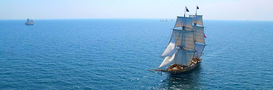
In world history, it wasn’t long ago when the oceans were considered unknowably mysterious as our understanding of the natural world was in its infancy. Additionally, to a mariner in the 1550s, the tides, the heavens, inclement weather and pirates threatened their journey at every step.
This is where History Professor Margaret Schotte begins, and from here she takes readers on a 250-year journey as the science behind sailing became more sophisticated; nations acquired technical proficiency from one another; and sea voyages became increasingly and inextricably bound to cultural and socio-economic developments, capitalism, imperialism, nationalism and more.

To Schotte, navigating the sea provides unique insights into world history during a particularly breathtaking era: The Age of Exploration.
Her richly illustrated book, Sailing School: Navigating Science and Skill, 1550-1800 (Johns Hopkins University Press, 2019), recreates the experience of learning to sail, a complex apprenticeship that took place not only onboard ships but in classrooms in Europe’s port communities. This scholarly monograph provides a detailed picture of what it meant to become an expert navigator.

The book was funded by the Social Sciences and Humanities Research Council of Canada, the Princeton Institute for International and Regional Studies and the Barr Ferree Fund.
Author hooks readers at the very start

It is immediately clear that Schotte knows how to draw readers into sweeping historic events, enriching the story with detail and accuracy to inspire awe and underscore the significance of nautical advancements.
Chapter One, for example, begins: “At the dawn of the 17th century, a group of nautical men assembled in an elegant home on one of Amsterdam’s grand canals. They gathered around a large table: nine well-to-do men, wearing the flat-brimmed beaver hats and fitted waistcoats fashionable among merchants and sea captains alike.”
Who wouldn’t have wanted to be around that illustrious table?
Skipping ahead, another chapter recounts the heroic tale of a 26-year-old British naval officer, Edward Riou, who kept his damaged vessel, the Guardian, afloat for two months in 1789, thanks to the nautical lessons he’d learned as a student.
Pivotal times in navigation history are highlighted
In this book, Schotte focuses on key points: Seville around 1552; Amsterdam in 1600; Dieppe around 1675; London in 1683; the Netherlands around 1710 and the Southern Indian Ocean in 1789. Within these historic pinpoints, she establishes the socio-economic and cultural context of scientific advancements, such as the drive for commerce and trade in 17th-century Amsterdam or the impact the printing press had on navigation.
She connects nautical history into a broader history of civilization and shows how members of the marine community “shaped politics and finance, appeared in art and literature and pushed for new solutions to long-standing, complex scientific problems.”
Publication commences when navigation was a mishmash of fields

In telling the story, Schotte starts at the beginning of the accumulation of scientific knowledge, noting that the way sailing was discussed for centuries incorporated a mishmash of fields, including pseudo scientific disciplines such as astrology and the zodiac, alongside cosmology, astronomy, geometry and mathematics.
One of the first steps forward was in 1551, when Spanish humanist Martín Cortés penned a popular book on navigation, which, says Schotte, “set the tone for navigational textbooks for years to come.”
She reminds us, however, that most people were illiterate, and many navigators tended to value experience over book learning. Furthermore, there was resistance to scientific progress: Englishman William Bourne, for example, claimed that experienced captains were resistant to “newfangled tools,” such as maps.
Nations learned from nations, nautical classrooms sprung up
But slowly the introduction of instruments, charts and maps fueled advancements. The interplay among nations, which Schotte discusses, is interesting. The English learned from the Spanish: In 1558, Captain Stephen Borough, from Dover, visited Seville and viewed the instruments and manuals used to teach Spanish navigators, then brought back this knowledge to the court of Queen Elizabeth I.
As well, naval administrators, keen to get a leg up on the competition, sought to find out what neighbouring countries were developing. Soon nautical classrooms, textbooks and examination processes spread across Europe.
Several inventions were game changing
Comparing the 1400s to the 1500s, the average length of voyages more than tripled.
Schotte describes the key instruments that facilitated this great change. For example, by the 16th century, mariners were able to ascertain latitude using news tools like a cross-staff, backstaff or mariner’s ring. A navigator using a backstaff, for example, looked at the sun to measure its altitude.

The Golden Number was another key tool, albeit non-technical. It involved the navigator counting with his fingers and thumb to figure out the epact – the number of days by which the solar year differs from the lunar year. (Knowledge of sun and stars became increasingly important as well as math skills related to nature and geographic knowledge.)
Early modern navigators also used Traverse boards, wooden boards marked with the points of the compass with holes and pegs by which to indicate the course of the ship and to calculate distance.
From technical advancements to highly charged personal stories, Schotte’s book is a fascinating read.
To read more about Schotte’s work, visit her faculty profile page. To learn more about the book, visit the website.
To learn more about Research & Innovation at York, follow us at @YUResearch; watch our new animated video, which profiles current research strengths and areas of opportunity, such as Artificial Intelligence and Indigenous futurities; and see the snapshot infographic, a glimpse of the year’s successes.
By Megan Mueller, senior manager, Research Communications, Office of the Vice-President Research & Innovation, York University, muellerm@yorku.ca